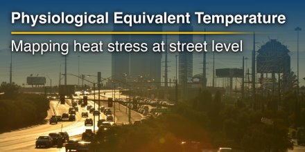
meteoblue Improves Precipitation Forecast Accuracy by up to 20%
meteoblue has significantly improved the accuracy of precipitation forecasts - by up to 20% - making weather predictions more reliable and actionable across all platforms.
Human activity drives a sharp rise in heatwaves, with some regions exceeding climate model projections.
|
|||||||||
---|---|---|---|---|---|---|---|---|---|
Icon
|
|
|
|
|
|
|
|
|
|
Temperature (°F)
|
|||||||||
Temperature felt (°F)
|
-35° |
-36° |
-38° |
-40° |
-42° |
-44° |
-43° |
-43° |
|
Wind direction
|
WSW |
WSW |
WSW |
WSW |
WSW |
WSW |
WSW |
WSW |
|
Wind speed (mph)
|
WSW
10-12
10-12
|
WSW
11-14
11-14
|
WSW
14-18
14-18
|
WSW
15-20
15-20
|
WSW
16-21
16-21
|
WSW
19-24
19-24
|
WSW
20-25
20-25
|
WSW
19-26
19-26
|
|
Precipitation (in/3h)
|
-
0%
-
|
-
0%
-
|
-
0%
-
|
-
0%
-
|
-
0%
-
|
-
0%
-
|
-
0%
-
|
-
0%
-
|
|
Precipitation probability
|
0%
|
0%
|
0%
|
0%
|
0%
|
0%
|
0%
|
0%
|
|
Precipitation hourly
|
|||||||||
Precipitation hourly
|
No precipitation expected |
||||||||
rainSPOT
Precipitation distribution within 20 km
|
|
Overnight into Tuesday the sky remains overcast but the clouds break up a bit during the day. The sun will not be visible. Temperature highs are likely to reach -21 °F. Overnight into Tuesday a gentle breeze is expected (8 to 12 mph). At the break of day expect a moderate breeze (12 to 18 mph). In the afternoon blows a fresh breeze (18 to 25 mph). Winds blowing from Southwest. The weather forecast for Doorly, Mount for Tuesday is expected to be very accurate.
Pressure: 989 hPa
Timezone: NZST (UTC +12:00h)
The real-time satellite image combines visible light during daytime with infrared radiation during nighttime. At night, the image is not dark as infrared radiation can detect temperature differences. Unfortunately, low clouds and fog are difficult to distinguish from ground temperatures and thus can be almost invisible during the night. Meteosat satellite images for Europe are updated in real-time every 5 minutes. GOES-16/GOES-17 (North & South America) and Himawari (Asia) images update every 10 minutes.
Precipitation is estimated from radar and satellites. Precipitation estimates from satellites are less accurate at night than during daytime.
© 2025 meteoblue, NOAA Satellites GOES-16 and EUMETSAT. Lightning data provided by nowcast.
The location marker is placed on Doorly, Mount. Orange crosses indicate lightning. Data provided by nowcast.de (available in USA, Europe, Australia). Drizzle or light snow fall might be invisible for the radar. Precipitation intensity is colour coded, ranging from turquoise to red.
meteoblue has significantly improved the accuracy of precipitation forecasts - by up to 20% - making weather predictions more reliable and actionable across all platforms.
Human activity drives a sharp rise in heatwaves, with some regions exceeding climate model projections.
Advertising is essential to maintain our free website with unique detail and accuracy.
Please whitelist www.meteoblue.com on your ad blocker or consider buying one of our products:
Already have a subscription?
Then please login.