Urban Climate Models Under the Microscope: New Webinar on 28 April
Modelling a city's climate is harder than it looks – and this webinar shows exactly why that matters.

Modelling a city's climate is harder than it looks – and this webinar shows exactly why that matters.

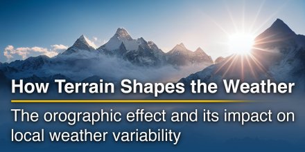
Terrain is one of the quiet architects of weather. Even when the larger weather pattern is set by fronts, pressure systems and the jet stream, hills, valleys and mountain ranges can decide where clouds form, where rain falls, where wind accelerates and where cold air lingers long after sunrise.
|
|
|
|
|
|
|
|
||
|
Icon
|

|

|

|

|

|

|

|

|
|
°F
|
27°
|
27°
|
31°
|
34°
|
35°
|
35°
|
32°
|
30°
|
|
°F
|
20°
|
20°
|
23°
|
22°
|
23°
|
20°
|
19°
|
20°
|
|
|
N |
N |
N |
NNW |
NNW |
NNW |
NNW |
N |
|
mph
|
4-7
|
4-7
|
7-13
|
11-17
|
15-21
|
18-25
|
14-28
|
9-21
|
|
in
|
-
|
-
|
-
|
-
|
-
|
-
|
-
|
-
|
|
%
|
0%
|
0%
|
0%
|
0%
|
0%
|
0%
|
0%
|
0%
|
|
in
|
||||||||
|
|
No precipitation expected |
|||||||
|
12.4 mi
|
||||||||
Until noon it is mostly cloudy, but most clouds give way in the afternoon. It is a sunny day. Temperature highs are likely to reach 35 °F. Overnight into Tuesday blows a light breeze (4 to 8 mph). Tuesday morning a gentle breeze is expected (8 to 12 mph). In the afternoon expect a moderate breeze (12 to 18 mph). Gusts to 28 mph are possible. Winds blowing at night and in the morning from North and during the afternoon from Northwest. The weather forecast for Mitoginskiy for Tuesday is expected to be very accurate.
Pressure: 1010 hPa
Timezone: GMT+12 (UTC +12:00h)
You can embed this meteogram into your own website. Customize it here.
The real-time satellite image combines visible light during daytime with infrared radiation during nighttime. At night, the image is not dark as infrared radiation can detect temperature differences. Unfortunately, low clouds and fog are difficult to distinguish from ground temperatures and thus can be almost invisible during the night. Meteosat satellite images for Europe are updated in real-time every 5 minutes. GOES-16/GOES-17 (North & South America) and Himawari (Asia) images update every 10 minutes.
Precipitation is estimated from radar and satellites. Precipitation estimates from satellites are less accurate at night than during daytime.
© 2026 meteoblue, NOAA Satellites GOES-16 and EUMETSAT. Lightning data provided by nowcast.
The location marker is placed on Mitoginskiy. Orange crosses indicate lightning. Data provided by nowcast.de (available in USA, Europe, Australia). Drizzle or light snow fall might be invisible for the radar. Precipitation intensity is colour coded, ranging from turquoise to red.

Modelling a city's climate is harder than it looks – and this webinar shows exactly why that matters.

Terrain is one of the quiet architects of weather. Even when the larger weather pattern is set by fronts, pressure systems and the jet stream, hills, valleys and mountain ranges can decide where clouds form, where rain falls, where wind accelerates and where cold air lingers long after sunrise.
 Ust'-Bol'sheretsk
 Ostrov Tomilova
 Utka
Utka 
 Shakhty
 Pymtinskiy
 Perevesnaya
 Oktyabr'skiy
 Nemtik
 Nachilovo
 Lenino
 Kombinat Imeni Mikoyana Nomer Pervyy
 Kirpichnyy
Advertising is essential to maintain our free website with unique detail and accuracy.
Please whitelist www.meteoblue.com on your ad blocker or consider buying one of our products:
Already have a subscription?
Then please login.