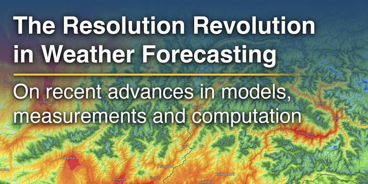
This shift is being driven by one central development: higher spatial resolution in weather models.
Every numerical weather prediction model divides the atmosphere into a three-dimensional grid. The spacing between these grid points determines the model's resolution. For decades, most operational forecasts worked with grid spacing of several tens of kilometres. Today, some of the world's most advanced systems operate at scales of just one to three kilometres. The difference is not merely visual. Higher resolution fundamentally changes what a model can represent.
A coarse model may smooth over mountain ridges, underestimate coastal wind systems or completely miss a local thunderstorm. A high-resolution model can resolve terrain in far greater detail and simulate atmospheric processes that develop on much smaller scales. Valleys, slopes and summits begin to behave differently within the simulation, reflecting the way the atmosphere actually interacts with the landscape.
The Value of Local Detail
meteoblue has built much of its forecasting approach around this principle. The company calculates its own high-resolution weather models, designed to capture the influence of topography, soil cover and local air circulation with greater precision. In mountainous regions, this allows forecasts to distinguish between temperatures on valley floors and nearby peaks. Weather barriers such as the Alps, the Andes or the Appalachians can be represented more realistically, improving simulations of precipitation patterns, thermal contrasts and local wind systems such as Foehn or Chinook events.
The impact of higher resolution becomes especially visible in regions with complex geography. Mountain ranges alter airflow, force moisture upward and create sharp local contrasts in weather conditions. A small change in elevation can determine whether precipitation falls as rain or snow. Wind can accelerate dramatically through narrow passes while nearby valleys remain calm. At lower resolutions, these features are often simplified or lost altogether.
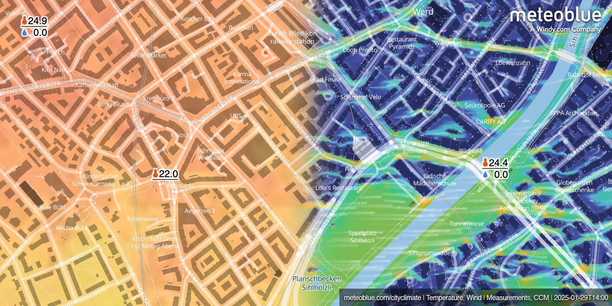
Urban areas present another challenge. Cities create their own microclimates, sometimes producing temperature differences of several degrees over only a few hundred metres. Buildings absorb and store heat during the day, then slowly release it overnight. Dense construction reduces airflow and traps warm air between streets. Vegetation, by contrast, cools the environment through shade and evapotranspiration.
This urban heat island effect has become a growing concern as heatwaves intensify across many regions of the world. Broad regional forecasts are often unable to capture these localized temperature variations. High-resolution modelling changes that. Forecasts can now account for factors such as topography, building density, land cover and surface materials, allowing weather conditions to be simulated at neighbourhood scale.
From Forecasting Weather to Forecasting Impacts
For meteorologists, the significance goes beyond improved computing power. It is changing what forecasts can deliver and how they are used.
Traditionally, weather forecasts focused on describing atmospheric conditions. Increasingly, the emphasis is moving toward forecasting impacts. The question is no longer simply how much rain will fall, but what that rainfall will do. Will transport infrastructure flood? Will power demand increase due to extreme heat? Which roads or neighbourhoods are most exposed?
This transition towards impact-based forecasting depends heavily on higher resolution. A model operating at 30 or 50 kilometres cannot meaningfully assess the vulnerability of specific infrastructure or urban districts. Forecasts must operate at much finer scales to become operational tools for emergency management, agriculture, transport, energy systems and public health planning.
Better Models Need Better Observations
At the same time, better resolution alone is not enough. Forecast accuracy also depends on the quality of atmospheric observations feeding into the models.
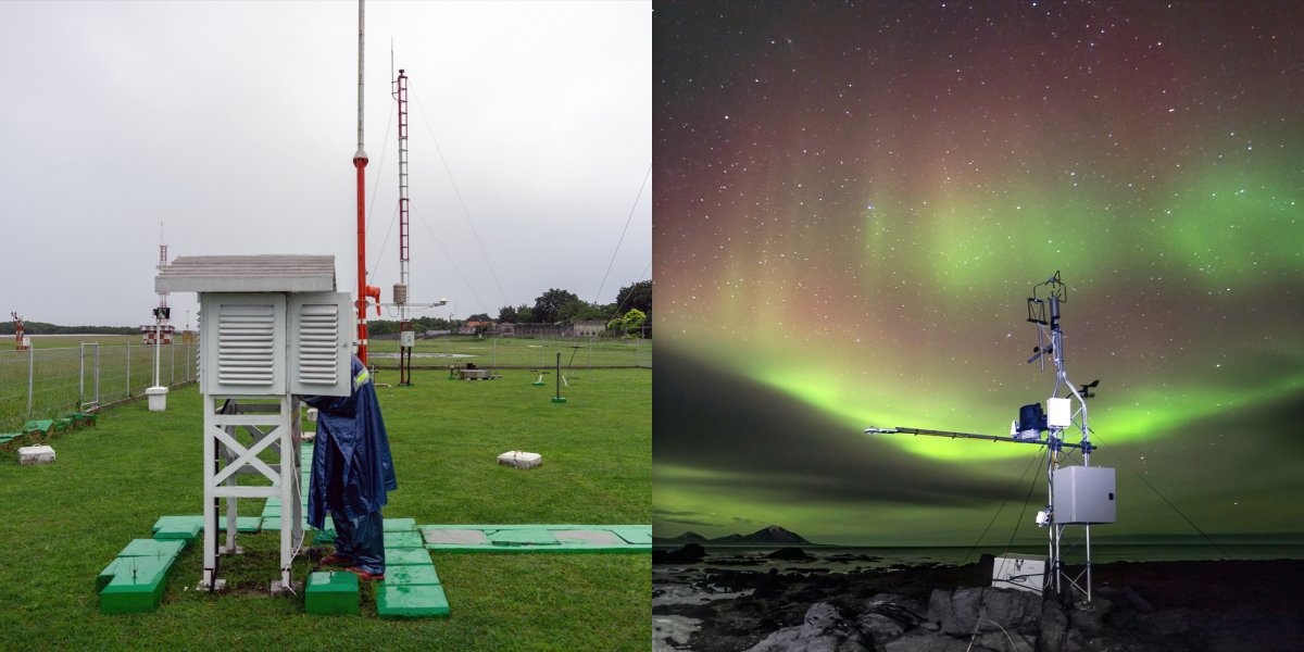
In 2025, experiments conducted by the European Centre for Medium-Range Weather Forecasts for the World Meteorological Organization provided some of the clearest evidence yet of the importance of global observation networks. The studies showed that improving weather observations in under-monitored regions, particularly parts of Africa and the Pacific, significantly reduced forecast uncertainty not only locally but across the wider global forecasting system.
The results showed a simple truth in meteorology: better input data leads to better forecasts. Additional radiosonde observations and surface measurements improved atmospheric analysis, particularly in tropical regions where large-scale circulation patterns strongly influence global weather development.
The experiments also highlighted how interconnected modern forecasting has become. Observations collected in one region can improve forecasts thousands of kilometres away. Weather prediction is fundamentally global.
The Computational Challenge Behind High Resolution
Yet increasing resolution also introduces new complications. The computational demands rise dramatically as grid spacing decreases. Halving the size of the grid does not simply double the workload. In three-dimensional atmospheric simulations, it can increase the number of calculations many times over because more grid points must be processed and smaller time steps are required to keep the simulation stable.
Modern high-resolution forecasting systems already perform enormous numbers of calculations every day. Running kilometre-scale simulations requires some of the world's most powerful supercomputers. Even then, operational compromises remain necessary.
This is one reason why meteoblue applies its highest local detail primarily to shorter forecast ranges. For periods beyond about one week, uncertainty in the atmosphere grows rapidly and broader regional circulation patterns become more important than local terrain effects. Medium-range forecasts therefore generally operate at coarser scales, with local adjustments applied afterward.
Higher resolution also exposes limitations in atmospheric physics itself. Some weather processes become difficult to handle at intermediate scales. Thunderstorms are a well-known example. At lower resolutions, convective activity is represented through simplified parameterizations. At very high resolutions, storms can begin to form explicitly within the model dynamics. But between these two regimes lies what meteorologists call the "grey zone", where the model partially resolves convection without capturing it fully.

Why Higher Resolution Does Not Always Mean Perfect Forecasts
This creates one of the paradoxes of modern forecasting: higher-resolution forecasts do not always appear more accurate in traditional verification statistics.
Meteorologists have long known about the so-called "double penalty effect". A high-resolution forecast may correctly simulate a thunderstorm but place it slightly too far east or west. Standard verification methods penalize the model twice – once for missing the storm at the observed location and again for falsely predicting rainfall where it did not occur. A smoother low-resolution forecast may therefore achieve better statistical scores despite containing less realistic detail.
To address this, forecasting centres increasingly rely on spatial verification techniques that assess whether a model successfully predicted an event nearby rather than demanding exact point-by-point agreement. These approaches become essential as forecasting systems move towards kilometre-scale global modelling.
Artificial Intelligence and the Next Phase of Forecasting
Artificial intelligence is now accelerating this transition further. AI-based weather models can generate forecasts in minutes rather than hours. Instead of solving atmospheric equations step by step, these systems learn patterns directly from historical atmospheric data.
Recent research suggests that regional high-resolution AI models are already capable of reproducing extreme precipitation structures and atmospheric river events with considerable realism while using only a fraction of the computational resources required by traditional numerical weather prediction systems.
For now, AI is complementing rather than replacing physics-based forecasting. Many researchers see the future in hybrid systems that combine physical atmospheric modelling with machine learning techniques for downscaling, bias correction and ensemble forecasting.
Forecasting at the Scale of Real Life
What is becoming clear is that forecasting is moving steadily closer to the scale of human decision-making. Farmers increasingly rely on field-level forecasts. Cities require detailed heat-risk analysis. Renewable energy systems depend on highly localized wind and solar predictions. Emergency planners need flood forecasts that operate at the level of individual catchments and transport corridors.
Forecasting technology continues to evolve and local detail will play an increasingly important role in how weather information is applied in practice.
Interested in discussing this topic further or asking questions? Visit the meteoblue Community Forum, where both experts and community members continue the conversation.
