
Area D › Sud-ovest
7 ore fa
Distanza: 14.5 km
Columbia-Shuswap Regional District › Sud: Kootenay Lake - British Columbia, Canada
25 minuti fa
Distanza: 22.9 km
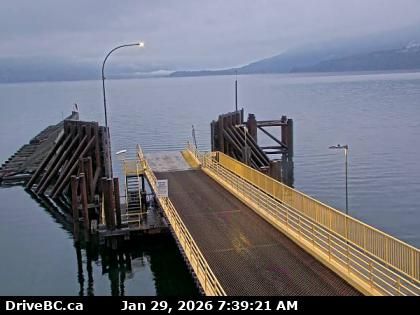
Area A › Sud-ovest: Highway 3A at Kootenay Bay Ferry Landing, looking southwest
6 minuti fa
Distanza: 26.8 km
Crawford Bay › Nord-est: Highway 3A at Kootenay Bay Ferry Landing, looking northeast
6 minuti fa
Distanza: 26.8 km
Crawford Bay › Nord: Highway 31 about 45 km north of Nelson and 25 km south of Kaslo, looking north
6 minuti fa
Distanza: 28.2 km
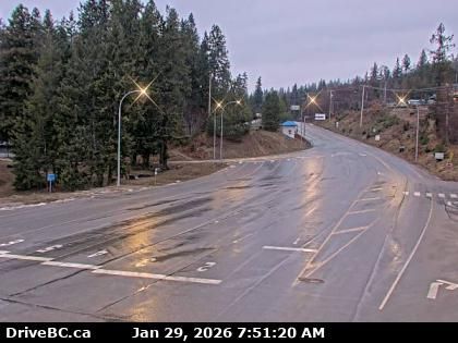
Kaslo › Nord: Highway 31 at Highway 31A Junction in - looking northbound
17 minuti fa
Distanza: 28.5 km
Kaslo › Ovest: Highway 31 at Highway 31A Junction in - looking westbound
16 minuti fa
Distanza: 28.5 km
Kaslo › Sud: Highway 31 at Highway 31A Junction in - looking southbound
16 minuti fa
Distanza: 28.5 km
Area E › Est: Highway 3A and Highway 31 at Busk Road near the Balfour ferry terminal, looking at ferry parking lot
15 minuti fa
Distanza: 35 km
Area E › Sud-ovest: Highway 3A and Highway 31 at Balfour ferry terminal entrance of Ferry Landing Road, looking southwest
26 minuti fa
Distanza: 35 km
Area E › Nord-est: Highway 3A and Highway 31 at Balfour ferry terminal entrance near Ferry Landing Road, looking northeast
14 minuti fa
Distanza: 35 km
Procter › Nord: Balfour ferry terminal, looking north towards Highway 3A
14 minuti fa
Distanza: 35.1 km
Aggiungere una nuova webcam
Webcams provided by windy.com


