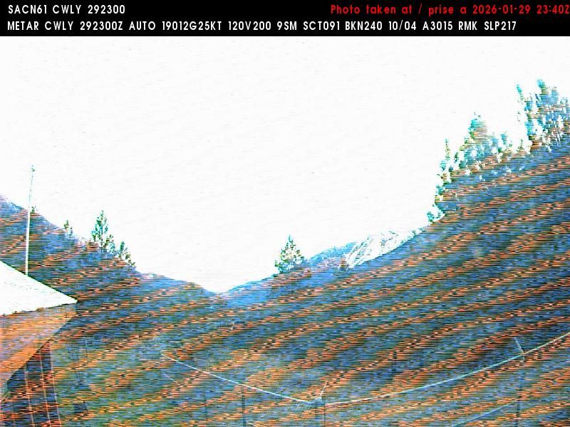
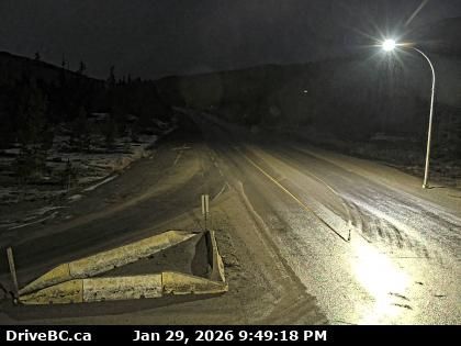
AD FREE

Rimuovi gli annunci per 9 € all'anno
Lytton
Lytton › Sud: BC
8 minuti fa
Distanza: 0.8 km
Lytton
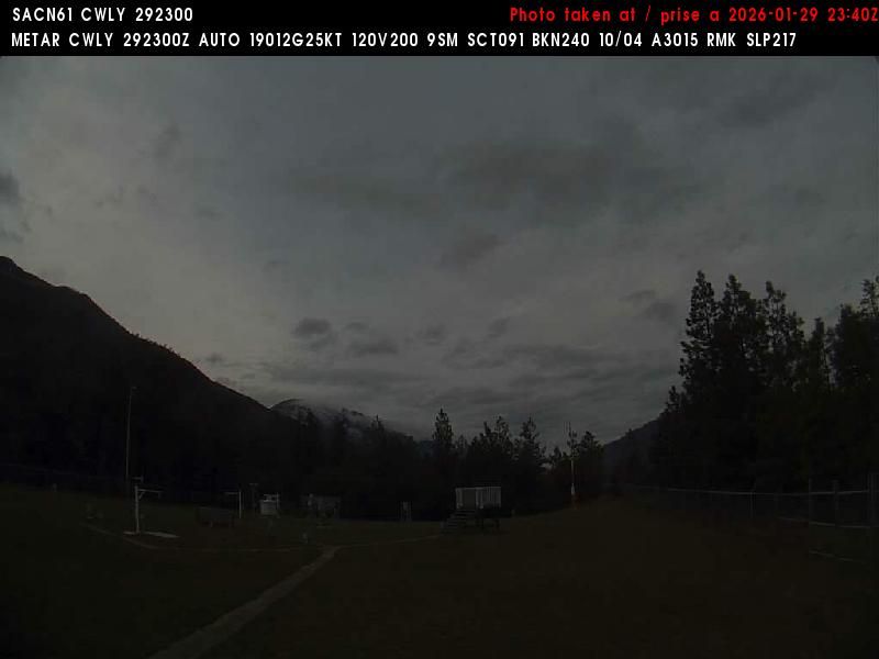
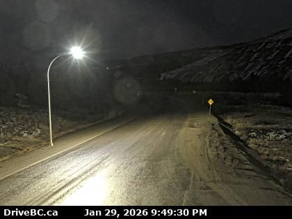
Lytton › Nord-ovest: true
39 secondi fa
Distanza: 0.8 km
Area I
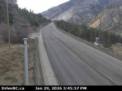
Area I › Ovest: Highway 1 about 6 km east of Lytton Airport, looking west
19 minuti fa
Distanza: 6.1 km
Area I
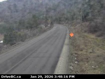
Area I › Est: Highway 1 about 6 km east of Lytton Airport, looking east
18 minuti fa
Distanza: 6.1 km
Area I
Area I › Ovest: Highway 1 in the Fraser Canyon at CPKC Rail crossing, looking west
9 minuti fa
Distanza: 9.9 km
Area I
Area I › Est: Highway 1 in the Fraser Canyon at CPKC Rail crossing, looking east
8 minuti fa
Distanza: 9.9 km
Boothroyd 8A
Boothroyd 8A › Sud: Highway 1 between Boston Bar and Lytton at Jackass Mountain summit near CəX̣ʷ Cixʷ (Check-Chow) Bridge, looking south
5 minuti fa
Distanza: 18.5 km
Area I
Area I › Nord: Highway 1 between Boston Bar and Lytton at Jackass Mountain summit near CəX̣ʷ Cixʷ (Check-Chow) Bridge, looking north
9 minuti fa
Distanza: 18.5 km
Spences Bridge
Spences Bridge › Nord: Highway 1 at the north end of - on the west side of the Thompson River, looking north
18 minuti fa
Distanza: 28.1 km
Boothroyd 8A
Boothroyd 8A › Nord: Highway 1 about 12 km north of Boston Bar at Kahmoose Road in Boothroyd, looking north
31 secondi fa
Distanza: 30.6 km
Boothroyd 8A
Boothroyd 8A › Sud: Highway 1 about 12 km north of Boston Bar at Kahmoose Road in Boothroyd, looking south
5 minuti fa
Distanza: 30.6 km
Logan Lake
Logan Lake › Sud: Highway 97C at Highland Valley Road between Merritt and Ashcroft, looking south
18 minuti fa
Distanza: 49.3 km
Tornare su
×
Salve,
sembra che stiate usando un blocco degli annunci.

La pubblicità è essenziale per mantenere il nostro sito Web gratuito con dettagli e accuratezza unici.

Si prega di inserire www.meteoblue.com nella whitelist del vostro blocco degli annunci o di considerare l'acquisto di uno dei nostri prodotti:

Avete già un abbonamento?
Allora per favore eseguite il login.