Severe heat waves hit large parts of Europe in the last weeks. Moreover, scientific experts agree that the ongoing anthropogenic climate change exacerbates this problem. This raises the question of how the temperatures will increase in the near (and more distant) future and how the climate will change by the end of the 21st century.
To better understand this development, we have developed climate predictions, a climate forecast tool based on the results used in the IPCC reports.
Our climate predictions are available for four "emission scenarios", also called "Representative Concentration Pathways" (RCP). RCP2.6, RCP4.5, RCP6.0 and RCP8.5 are the standard scenarios, whereas RCP2.6 is the most optimistic and RCP8.5 is the most alarming. However, scientists agree that under the current development, the most likely emission scenario lies between RCP6.0 and RCP8.5.

The figure shows air temperatures (°C) for those four emission scenarios and four time periods: Reference (1979 - 2019), 2020 - 2049, 2045 - 2074, and 2070 - 2099. The variability in the boxplots of each diagram represents the interannual variability (likely differences between years) within the chosen time period and indicates typical and extreme years. In the near future, the mean annual air temperature will be nearly identical for all four emission scenarios. However, towards the end of the century, mean air temperatures in the RCP8.5 scenario are around 2 degrees Celsius warmer than in the RCP2.6 scenario.
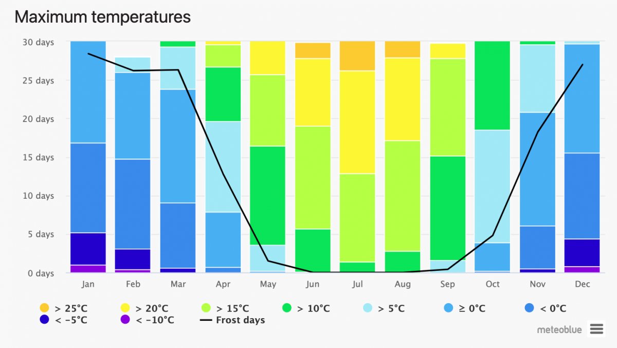
This analysis is also available for other parameters such as frost days, ice days, tropical nights, summer days, heat days, average precipitation amount, heavy precipitation events and many more. It is possible to analyze these parameters on an annual or even monthly basis.
This tool is part of our history+ subscription, which also provides access to historical data and many tools for analyzing data from different sources such as risk assessments, year comparisons or wind roses. For Basel, you can test our history+ interface and the climate predictions free of charge.

We also offer customized climate prediction solutions such as maps for temperature anomalies for more detailed insight.
Furthermore, we also have some climate features on our website that analyze the development of the climate based on consistent historical time series:
- Climate diagrams: The meteoblue climate diagrams are based on 30 years of hourly weather model simulations and are available for every place on Earth. They indicate typical climate patterns and expected conditions (temperature, precipitation, sunshine and wind).
- Climate change diagrams: These diagrams show the development of different meteorological parameters like temperature and precipitation and how they developed during the last 30 years.

What can be done with these data? Here are a few applications:
- Calculating the heating or cooling demand for buildings.
- Estimating summer crop drought risk (and irrigation demand).
- Estimating the change in water flow between winter and summer
and many more...
We are sure that our climate tools are helpful to understanding better how climate developed during the last years and how it might develop in the future.
