

Area C › Südosten: Highway 3/93 near Ha Ha Creek Road, looking southeast
vor 17 Minuten
Entfernung: 5.2 km

Area C › Nordwesten: Highway 3/93 near Ha Ha Creek Road, looking northwest
vor 16 Minuten
Entfernung: 5.2 km
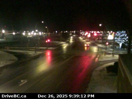
Cranbrook › Nordosten: Van Horne Street North
vor 6 Minuten
Entfernung: 13.4 km
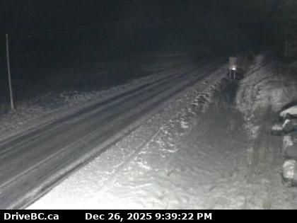
Moyie › Norden: Highway 3 near the south end of - Lake, looking north
vor 7 Minuten
Entfernung: 26.6 km
Area A › Südwesten: Island Lake
vor 33 Minuten
Entfernung: 29.5 km
Kimberley: Chapman Camp › Südwesten: Highway 95A at Black Bear Crescent about 3 km south of Kimberley, looking southwest
vor 8 Minuten
Entfernung: 32.8 km
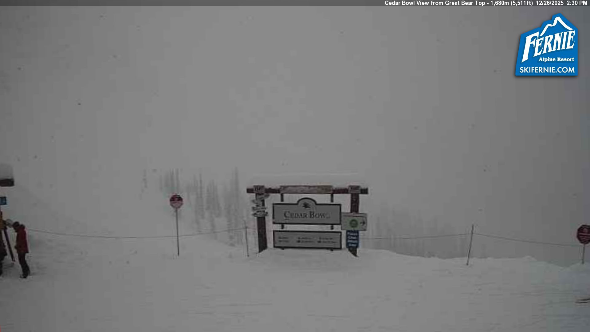
Area A: Cedar Bowl Drive
vor 3 Minuten
Entfernung: 33.9 km
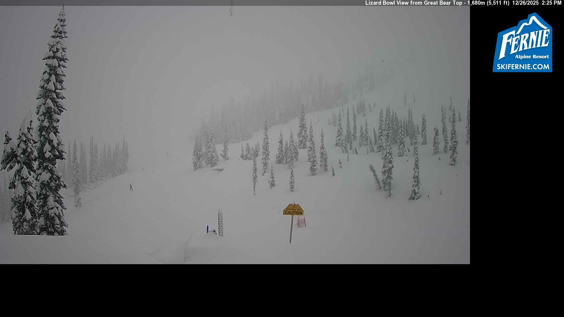
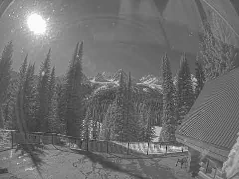
Area A › Süden: Fernie Alpine Resort
vor 9 Minuten
Entfernung: 33.9 km
Area B: Polar Peak
vor 6 Minuten
Entfernung: 34 km
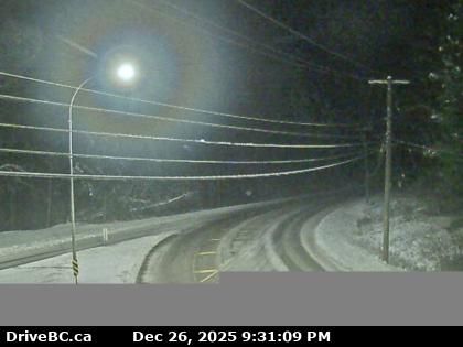
Area B › Nordwesten: White Pass
vor 2 Minuten
Entfernung: 34.6 km
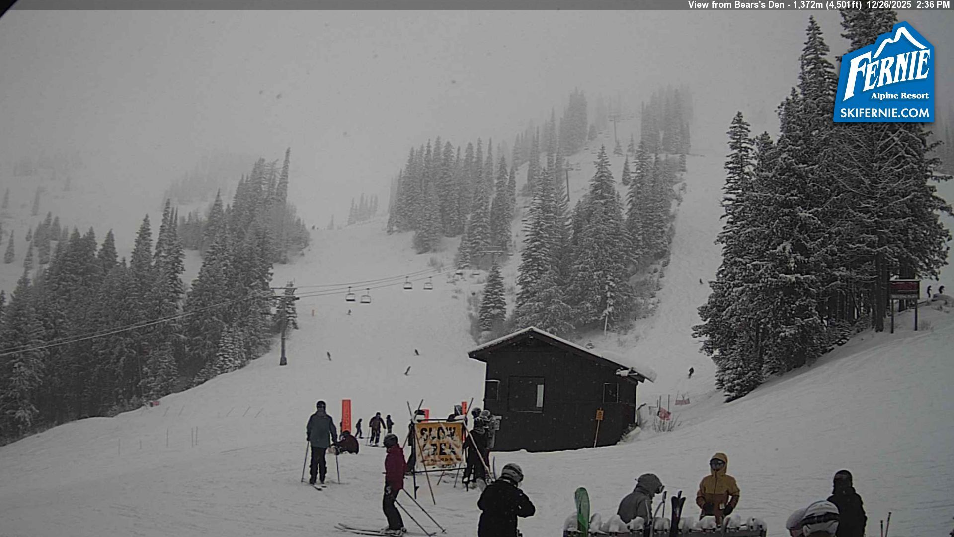
Area A › Südwesten: Bear's Den
vor 1 Stunde
Entfernung: 34.8 km
Area A › Norden
vor 9 Minuten
Entfernung: 35.3 km
Webcam hinzufügen
Webcams provided by windy.com


