meteoblue implements risk assessment within history+
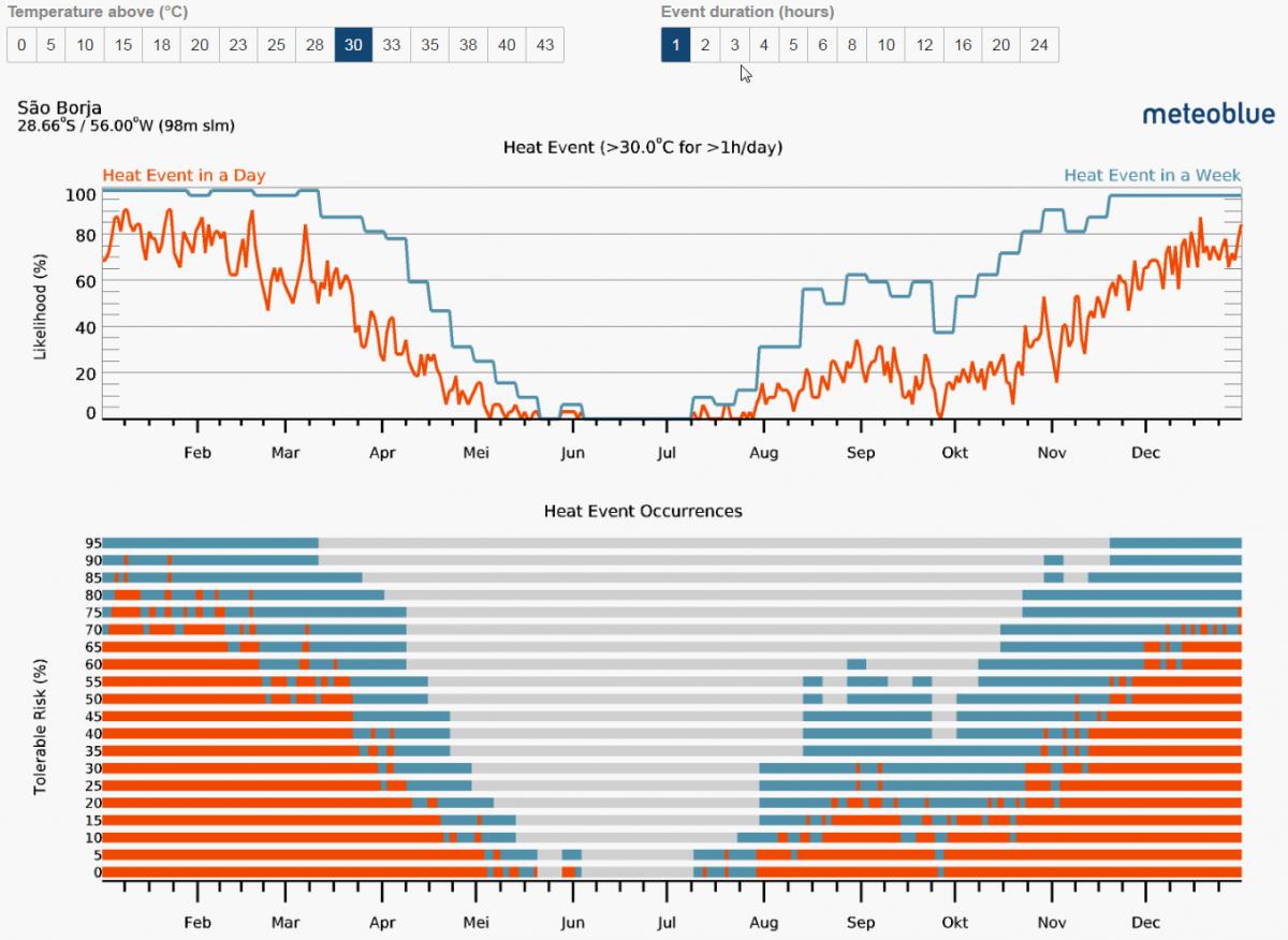
How big is the chance that I can watch the stars next week from the La Silla Observatory in Chile? How often do heat waves appear in Southern France? What frost risk to expect in April in Vancouver, Canada? When were these crazy rainfalls on our farm in Brazil? Which month has the highest likelihood for drought in Turkey? These and many other questions can now be answered with the new and unique history+ feature for risk assessment. It is available for any purchased history+ location or you can check out all history+ features for Basel (Switzerland) for free. For cold or warm events, precipitation, water capacity or cloud cover the risk can be calculated for different user defined thresholds. The results are intuitive graphics, that show the distribution of the expected risk throughout the year and the appearances of the risk events since 1986. You can assess your risk within a matter of seconds and all with only one diagram.
Plan your holidays with meteoblue CLIMA application!
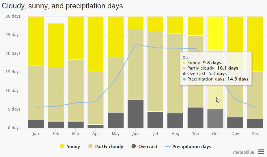
Which is the right country for this summers camping trip? What is the best season to hike on the Annapurna circuit, on the Way of St. James to Santiago de Compostela or on the Pacific Crest Trail? Do we need rain clothes for the bike tour in Bulgaria next year in September? Even if these questions belong to the pleasant ones, they are often not easy to answer. The meteoblue climate function offers good indications of typical climate patterns and expected conditions (temperature, precipitation, sunshine and wind) with just a few clicks. The meteoblue climate diagrams are based on 30 years of hourly weather simulations and available for every place on Earth. This unique offer allows you to choose the right destination and season for your preferred outdoor activity and gives you an idea of the weather to expect on your next trip - free of charge. Just before departure and on the trip itself, you can use weather maps or where2go for more detailed scheduling of your holidays.
Weather for Agriculture Investments
Investors are meeting at Global AgInvesting 2017 in New York to discuss agriculture investment opportunities across all major global production regions. Weather is an important factor in agricultural production and meteoblue was invited to discuss how services can support the sector. Some key solutions are:
- Field operation support through highly localised weather forecast: this precision is top level in the industry.
- Assessment of weather patterns and risk through our climate and history+ offers: this offer is unique in the industry.
- Assessment of weather data precision for investment decisions: this offer is so far unique in the industry.
We are now looking for partners to leverage this enormous database to the benefit of agriculture and appreciate your proposals.
meteoblue adds worldwide aviation weather with real time updates

All major airports provide standard weather information to help flight planning and ensure safety. The information is summarized in technical reports like:
METAR = the official weather report of an airport obtained by measurements.
TAF = Terminal Aerodrome forecast: Shows the official aviation forecast issued by the airport.
SIGMET = official map of the significant meteorological phenomena relevant to aviation.
NOTAM= notices to Airmen, filed with an aviation authority to alert aircraft pilots of potential hazards along a flight route or at a location that could affect the safety of the flight.
The METAR weather reports provide actual observation of flight conditions, military flight conditions, cloud base height, wind speed and direction and the visibility in meters. These variables are visualized on our weather maps for all airports worldwide. These information are especially useful for aviators to plan their flights. We appreciate any suggestions of our professional users.
